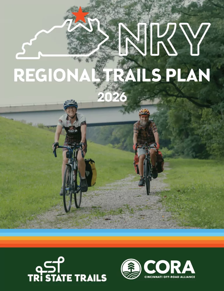
NORTHERN KENTUCKY REGIONAL TRAILS PLAN

A collaborative vision to connect Boone, Campbell, and Kenton Counties through a unified network of paved and natural surface trails that expand mobility, recreation, and economic growth in Northern Kentucky.

Tri-State Trails & CORA Logos

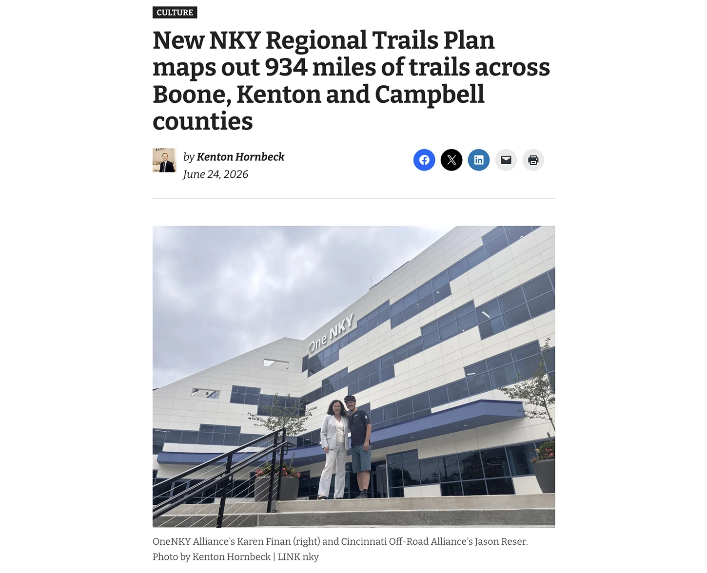
The OneNKY Alliance, CORA, and Tri-State Trails invite you to join us for the Northern Kentucky Regional Trails Plan Release Party!

📅 Wednesday, 6/24
⏱️ 5 PM
📍OneNKY Center

209 Greenup St, Covington, KY 41011

🎉 Event Details:
🕔 5:00 PM:

Cocktail Hour/ Presentation
🕕 6:00 PM:

Group Ride along the proposed Connector Route
🕖 7:00 PM:

After Party at The Gruff

129 E 2nd St, Covington, KY 41011

Thanks to the funding and support of OneNKY Alliance, Tri-State Trails and CORA have put together a comprehensive feasibility report that outlines the potential for trail connectivity across the three-county region, and this event is the culmination of this highly collaborative project. The report will be published to print and we are celebrating with a cocktail hour at OneNKY Alliance, where we will hear from local government about their investments into bike and trail infrastructure, and have the opportunity to connect with folks from the locale that have played a role in making this project possible.

About

The NKY Regional Trails Plan is a bold effort to connect Boone, Campbell, and Kenton counties through a unified network of paved and natural surface trails. Led by Tri-State Trails and the Cincinnati Off-Road Alliance (CORA), the plan brings together over 45 local governments, business leaders, and community stakeholders to create a shared vision for a regional Braided Trail Network, a combination of paved multi-use paths and natural surface trails for hiking and mountain biking.

Inspired by OneNKY’s vision, the plan sparks momentum across Northern Kentucky by coordinating planning efforts, advancing cross-jurisdictional trail projects, and laying the groundwork for future funding and construction. By aligning with the success of peer cities like Bentonville, Boulder, and Knoxville, Northern Kentucky has a unique opportunity to leverage its outdoor assets to attract visitors, talent, and investment.

In addition to leveraging outdoor recreation as an economic driver, the plan focuses on expanding safe, equitable transportation options and increasing opportunities for walking and biking as everyday modes of travel. Tri-State Trails and CORA are working closely with regional partners to map existing trails, identify key opportunities, and package top-priority corridors into signature projects with clear funding and implementation strategies.

VISION STATEMENT

The NKY Regional Trails Plan envisions a safe, connected trail network that links communities, supports active transportation and recreation, and enhances quality of life across Boone, Campbell, and Kenton counties. By prioritizing equity, health, and economic opportunity, the plan aims to make trails essential infrastructure for all.

Tri-State Trails & CORA Logos

Review the Draft NKY Regional Trails Plan

NKY Regional Trails Plan Draft

REVIEW THE DRAFT PLAN!

The project team has prepared the draft NKY Regional Trails Plan. Please click the link below to review the final draft. This draft document is currently being reviewed by the NKY Regional Trails Plan Steering Committee and key stakeholders.

  • Executive Summary - Page 6
  • Existing Conditions - Page 24
  • Public Engagement - Page 36
  • Design Standards - Page 48
  • Route Recommendations - Page 84
  • Programmatic Recommendations - Page 136
  • Trail Maintenance - Page 156
  • Funding Strategy - Page 160
  • Conclusion - Page 190
  • References & Resources - Page 192

Explore Our Interactive StoryMap

The project team developed a StoryMap for the NKY Regional Trails Plan to present proposed trail connections. It highlights existing and funded trails, shows proposed paved multi-use trails, and identifies eight natural surface trail focus areas. Use the instructions below to navigate the StoryMap. After exploring, please take our online survey to share your feedback.

HOW TO USE THE STORYMAP

Scroll through the NKY Regional Trails Plan to explore the project overview and proposed trail connections. 

Note: All trail alignments are preliminary and may be updated in the future based on public input and Steering Committee feedback.

  1. Navigate the StoryMap
    1. Scroll up or down to move through the StoryMap; OR
    2. Click one of the chapter tabs in the navigation bar at the top to jump to a section.
  2. Explore the interactive maps
    1. Click directly on the map to interact with it.
    2. For a full-screen view, click the expand button in the top right corner of the map.
    3. To view the map legend, click the legend button in the bottom left corner of the map.
  3. Share Your Feedback
    1. When you're done exploring, complete our survey to tell us what you think about the project.

Quick Facts

COUNTY & COMMUNITY PARTNERS

Boone County, Kenton County, Campbell County, Alexandria, Bellevue, Bromley, Cold Spring, Covington, Crescent Springs, Crestview Hills, Dayton, Edgewood, Erlanger, Florence, Fort Thomas, Fort Wright, Highland Heights, Independence, Ludlow, Newport, Park Hills, Ryland Heights, Silver Grove, Southgate, Taylor Mill, Union, Walton, Wilder, Boone Conservancy, Campbell County Conservation District, Kenton County Conservancy

PARTNER ORGANIZAITONS

OneNKY Alliance, KYTC District 6, Northern Kentucky Health Department, Northern Kentucky Area Development District, BeNKY Growth Partnership, OKI Regional Council of Governments, Southbank Partners, NKY Chamber of Commerce, MeetNKY, Ohio River Way, Banklick Watershed Council, Northern Kentucky University, Friends of AJ Jolly Park, ReNewport, Ride the Cov

EXISTING & FUNDED NATURAL SURFACE TRAILS

176 miles

EXISTING & FUNDED PAVED TRAILS

168 miles

PROPOSED NATURAL SURFACE TRAILS

252 miles

PROPOSED PAVED TRAILS

338 miles

Vision For World-Class Trails

Cincinnati Off-Road Alliance (CORA) and Tri-State Trails (TST) are building on years of work to expand trail and bikeway opportunities across Northern Kentucky. Recent initiatives include the Covington + Newport Bicycle Transportation Plan, authored by Tri-State Trails and adopted in 2024, and the Saratoga Street Bikeway, an ongoing planning effort in Newport. CORA continues to grow and maintain natural surface trails in Sargeant Park (Dayton), Tower Park (Fort Thomas), Devou Park (Covington), and England Idlewild Park (Burlington).


The NKY Regional Trails Plan builds on this momentum by envisioning a Braided Trail Network across Boone, Campbell, and Kenton counties. This interconnected system of paved and natural surface trails is envisioned to provide continuous routes that link communities and destinations while offering flexible options for people walking, biking, and exploring outdoors.


Inspired by peer cities like Boulder, Bentonville, Chattanooga, and Atlanta, the plan demonstrates how regional trail connectivity can strengthen communities, improve active transportation, and enhance quality of life. A Steering Committee of local, county, state, and regional partners has guided the process since March 2025, working to review existing conditions, refine proposed trail routes, and prioritize connections across the network.

WHAT IS A BRAIDED TRAIL NETWORK?

A Braided Trail Network is an interconnected system of paved multi-use paths and natural surface trails that link communities and destinations. It allows people to mix and match routes, whether walking, biking, hiking, or mountain biking—for a flexible, continuous experience tailored to their preferences and skill level.

Plan Objectives & Project Benefits

PLAN OBJECTIVES

  • Develop a Comprehensive Regional Trails Plan
    • Identify opportunities for paved multi-use trails, on-road bicycling infrastructure, and natural surface trails across Campbell, Kenton, and Boone counties.
  • Strengthen Regional Collaboration
    • Establish a coalition of local governments, community stakeholders, and  advocates to align trail planning efforts and move projects toward implementation.
  • Analyze Existing Conditions and Trail Opportunities
    • Conduct GIS mapping, site assessments, and public engagement to refine trail alignments, prioritize corridors, and ensure connectivity to key destinations (employment centers, schools, parks, etc.).
  • Engage the Public and Stakeholders
    • Facilitate public input sessions, online surveys, and stakeholder meetings to gather feedback on proposed trail alignments and priorities, ensuring community needs are reflected in the plan.
  • Create an Implementation Strategy for Funding and Development
    • Develop a prioritized funding strategy that aligns with state and federal grant opportunities and outlines steps to advance trail projects from planning to construction.

PROJECT BENEFITS

  • Enhance Bicycle Connectivity Across Northern Kentucky
    • Improve walking and biking options between communities that have been divided by highways and railroads.
  • Link Trails, Parks, and Recreational Assets
    • Connect residential neighborhoods to local parks and regional greenspaces like Devou Park, England Idlewild Park, Big Bone Lick State Park, and AJ Jolly Park.
  • Spur Economic Development
    • Increase property values and drive development along the trail network.
    • Attract visitors and generate tourism spending.
    • Connect suburban communities to the urban core.
  • Expand Transportation Opportunities For All Ages and Abilities
    • Create safe paths for walking, running, and biking that are separated from car traffic.
    • Support a multi-modal transportation network that is less reliant on cars.
  • Improve Public Health
    • Make active lifestyles more accessible and convenient to residents.
    • Decrease rates of obesity, cardiovascular disease, and other preventable illnesses.
    • Increase interaction with nature to restore mental health.
  • Increase Transportation Equity
    • Provide another safe travel option for individuals without a car.
    • Connect trails to historically underserved communities.
  • Promote Environmental Sustainability
    • Reduce emissions from car travel and improve air quality.
    • Make it easier for residents to live car-light or car-free.
  • Attract and Retain Talent
    • Help companies secure talented professionals to the region.
    • Create a world class amenity that puts Northern Kentucky on the map.

NKY Regional Plan in the News

Check back soon!

Contact Info

Diana Bolton

CORA Project Manager

diana@coratrails.org

Sign Up For Our Newsletter

Get monthly email updates on CORA trails, events, and volunteer opportunities.